 |
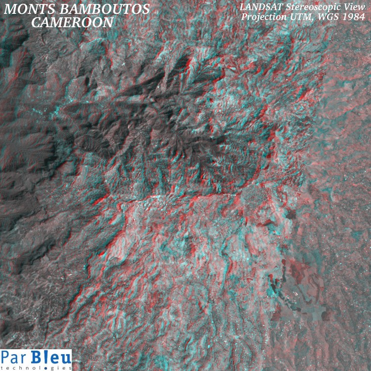
This stereospcopic view of the great Bamboutos caldera has been obtained by combining the LANDSAT-4 and LANDSAT-7 images acquired in 1988 and 2002, respectively (Courtesy of the University of Maryland, Global Land Cover Facility), after processing.
The topography of the caldera can be perceived using stereoscopic (red & blue) glasses. (red glass : right eye; blue glass : left eye).
This image covers a 22.5 x 22.5 kilometers wide area. It is shown here at a spatial resolution of 30 meters x 30 meters.
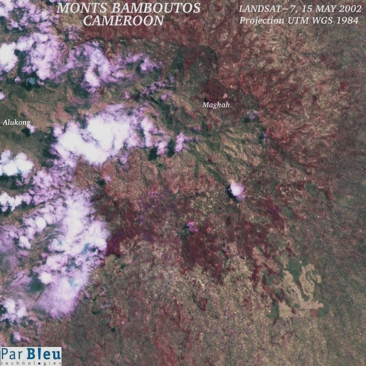
Compare with the LANDSAT-7 ETM+ processed ortho-image (i.e. corrected for the geometric deformations due to the presence of relief) at the bottom of this page.


Produced by PARBLEU TECHNOLOGIES Inc.
Operational partners of PARBLEU TECHNOLOGIES Inc. :
 |
 |
 |
| Privateers NV | Treemail | AP Formation |
Copyright (C) PARBLEU Technologies Inc., 2004